WELCOME TO LAND SURVEY
LAND SURVEY
Surveying is the art and science of determining the relative positions of various points or stations on the surface of the earth by measuring the horizontal and vertical distances, angles, and taking the details of these points and by preparing a map or plan to any suitable scale.
A land survey is a process that is used to determine the features and boundaries of a property. It can also be used to determine easements, encroachments, to find out how to develop or build on land, as well as to maintain local codes and regulations. There are different types of land surveys that can be performed depending on the need.
At Civil Tech we uses traditional instruments and digital technology for carrying out survey in the most reliable manner.
- The object of surveying is to prepare a map or plan to show the relative positions of the objects on the surface of earth.
- The map or plan is drawn to some suitable scale.
- It is mandatory before executing any construction work to know about the angles, boundaries , level etc.
- It also includes details of different engineering feature such as Roads, Railways, Dams, Canals etc.


Specification
- As a property owner you need to understand possible encroachments on your property. A survey identifies where the property lines and corners are so that in case of a dispute you know your exact property dimensions. A land survey also helps you protect your investment since it reveals the exact dimensions of the land and the home the property.
- Land surveying can be thought of as the science of taking big measurements. In short it is the use of geometry to measure angles and alignments. Surveyors use survey equipment to gather data can be used to help with construction projects, land development & creating accurate maps.
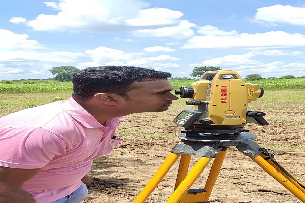
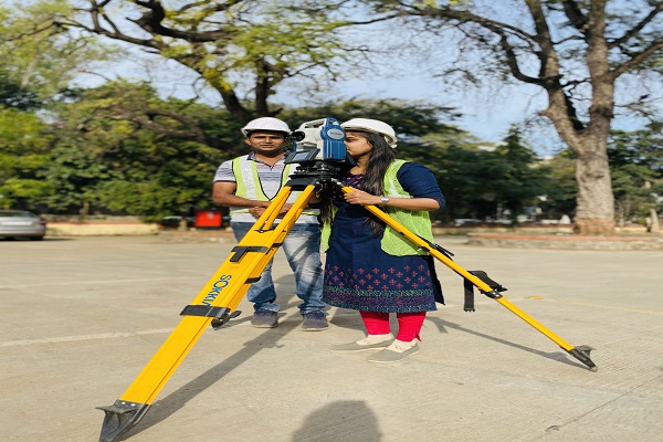
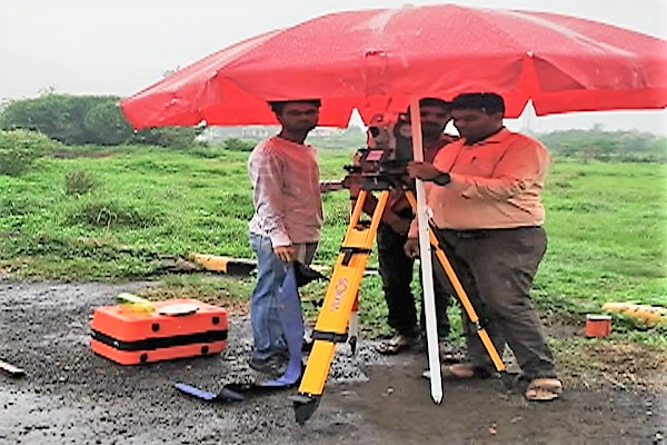
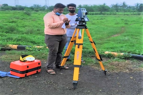
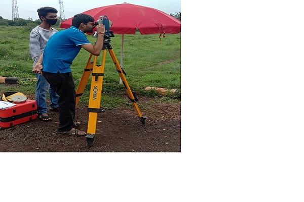
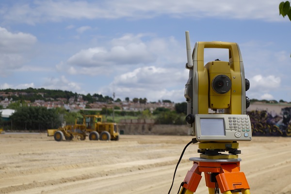
Testing Photos