Welcome To Network Survey Vehicle
The Ministry of Road, Transport & Highway has mandated to conduct Road Inventory & Condition Survey using NSV vide Circular no. RO/MUM/Genl-Corr/2019-40/423 from Ministry of Road Transport and Highways (MORTH) dated 31st July 2020.
Network Survey Vehicle
We CIVIL TECH Very Excited to introduce our new service "Network Survey Vehicle with ROMDAS System From New Zealand" having Transverse Profile Logger (2D System) for Rut Depth, Rut Profile, IRI, Micro Texture Geometry and ROW – with 15 Laser TPL, 2 Laser Profilometer, 360 Deg. Camera with Mobile Mapping Software, Pavement Camera.
The ROMDAS Network Survey Vehicle is based on the latest survey techniques utilizing Laser, Global Positioning System and Video image processing tools etc. The Survey Vehicle is used for automatic collection of road inventory and pavement condition related data required for Road Asset Management, Pavement Maintenance Management System and Road Safety Audit Related Studies.
- The scope of work is to prepare a Report on Road Inventory & Pavement Condition Survey by Network Survey Vehicle.
- Road Inventory: Existing dimensions of namely carriageway, shoulders, median, etc.
- Roughness: Roughness measurement was captured for each wheel path of respective lanes.
- Distresses: Distresses measurement regarding cracking, ravelling, pothole, rutting, patch, etc. were captured.

Specification
- Conducting N.S.V. using iRAP accredited ROMDAS system, NSV system from following setup for gathering all survey data.
- 15 Laser Profilometer to evaluate Rut in the road as per ASTM.
- 2 Laser Profiler for left and right wheel to find I.R.I.
- One Laser to find Texture Depth of pavement i.e. Evaluation of M.P.D.
- 360º Camera with Horus software to locate object with GPS tagging and exact mobile mapping capability.
- Data view software for recording all road inventory of road distress mapping.
- High resolution DMI.
- High accuracy GPS Receiver.
- Geometry Module.
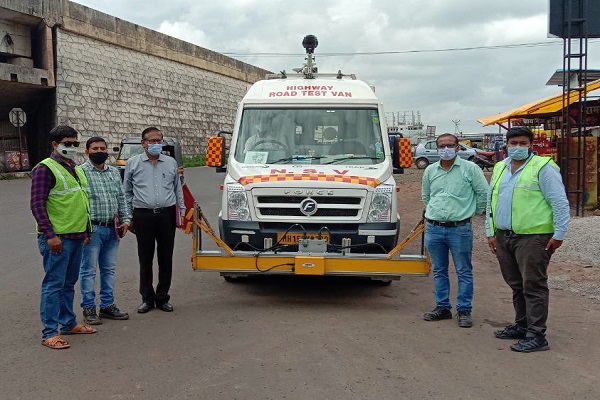
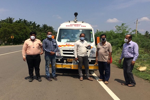
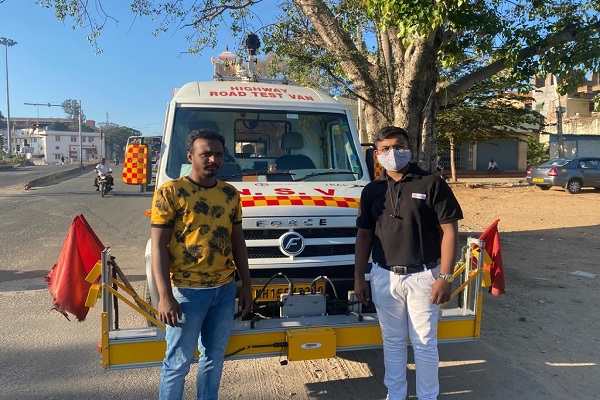
Testing Photos